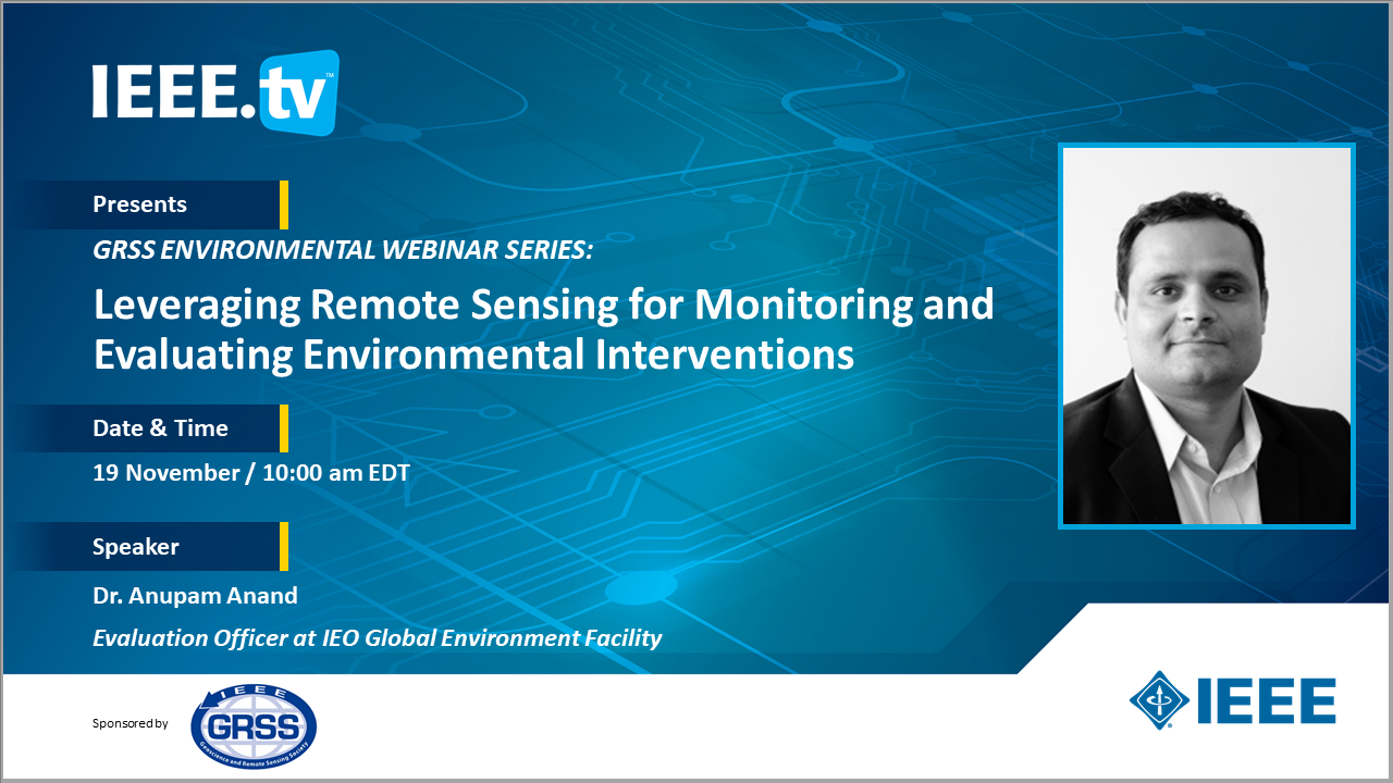
Leveraging Remote Sensing for Monitoring and Evaluating Environmental Interventions

Environmental initiatives and interventions form the bedrock of delivering the objectives laid out in the SDGs and the UN Rio conventions. Measuring, monitoring, and evaluating these environmental interventions is a daunting task. For instance, tracking the progress towards SDGs and its associated 169 targets need consistent data on the 232 proposed indicators. This challenge can be addressed by using the data from the remote sensing satellites.
This talk will demonstrate the application of geospatial approaches and earth observation data to track progress towards the SDGs and other UN conventions. The work draws from examples of environmental interventions related to climate (Goal 13), biodiversity conservation (Goal 15), land degradation (Goal 15.3), terrestrial and marine ecosystems (Goal 15, 14). The presentation will also highlight how remote sensing is being leveraged to deal with the common challenges in monitoring and evaluation such as lack of baseline, counterfactual selection, and avoiding selection bias.
Speaker
Dr. Anupam Anand
Evaluation Officer at IEO Global Environment Facility
Anupam is a geospatial scientist. Currently, he works as an Evaluation Officer at the GEF IEO, carrying more than 15 years of combined experience in evaluation, international development, and academia. His interest lies in using innovative mixed-method approaches and tools such as geospatial data, computational social science, drones, and field-based methods for problem-solving and gathering evidence. He has led evaluations on biodiversity, SFM and REDD+, land degradation, fragility and conflict, and illegal wildlife trade. Before the IEO, he was a Remote Sensing Scientist at the University of Maryland, where Anupam worked on multiple NASA funded projects, including field campaigns for future satellite missions. He has also consulted for the World Bank, conducting climate risk and vulnerability assessments. He has contributed to numerous peer-reviewed articles and book chapters on remote sensing, ecology, sustainable development, land cover change, evaluation, and environmental policy.
Anupam holds a Ph.D. in Lidar remote sensing from the University of Maryland, a dual master’s in Ecology and Environment, and Geography, and a postgraduate diploma in Environmental law and policy. He maintains an active engagement with academia through collaboration, mentoring graduate students, and teaching courses on geospatial methods, data science, environmental governance, and science-policy interface. Outside work, he likes photography, yoga, traveling, and flying UAVs and the Cessna 172.
Be sure to visit the "Most Popular Questions" tab and vote.
 Cart
Cart Create Account
 Sign In